Interactive Maps for Travellers
When we visit a national park, we usually experience only a small part of what it has to offer. The most fascinating caves, ancient trees, scenic viewpoints, lesser-known trails, or local services often go unnoticed by visitors—not because they are difficult to find, but because information about them is overshadowed by the most popular attractions. That is why the Frankfurt Zoological Society, together with national parks and local communities, is working on the development of interactive tourist maps. Now, it will be much easier not to miss a unique thousand-year-old oak during your journey.
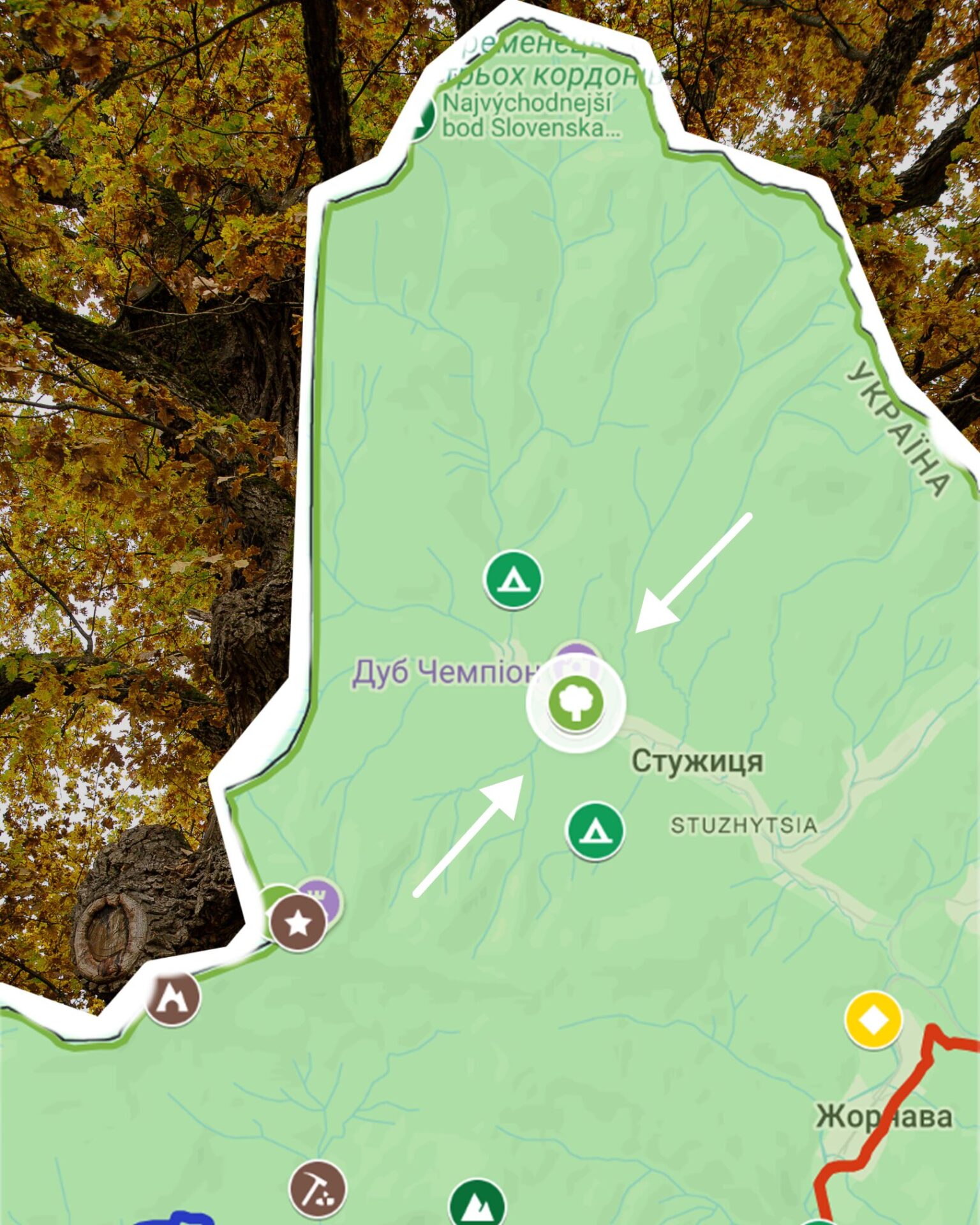
At the heart of each map is extensive work to collect and organize information about the area. We create a database that brings together natural, cultural, and tourism-related points of interest. The maps include natural landmarks, ancient trees, mountain peaks, rock formations, caves, hiking routes, and educational nature trails. They also highlight recreational sites, picnic areas, equipment rental services, restaurants, and other facilities that may be useful during a visit.
An important part of this work is the inventory of the area’s tourism potential. Together with national park staff and representatives of local communities, we collect information about both well-known and lesser-known places that may be of interest to visitors. This process not only helps organize existing information but also uncovers new destinations that have previously remained outside established tourist routes.
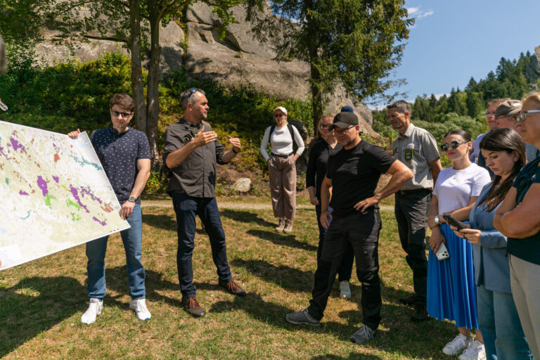
The development of the maps also involves discussions about the network of hiking trails. Park specialists analyse existing routes, identify the most suitable trail network, and discuss approaches to trail marking and visitor navigation. As a result, the map becomes not only a navigation tool but also a foundation for the future development of tourism infrastructure within the protected area.
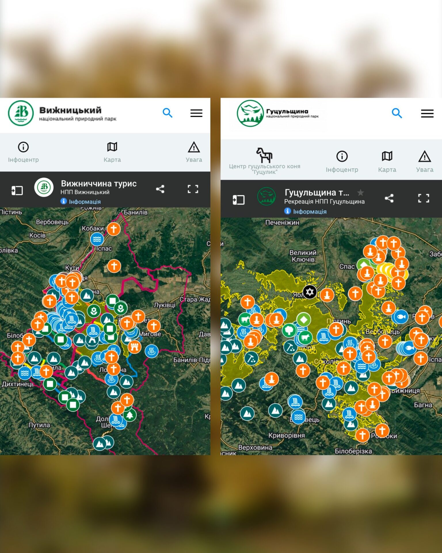
Initially, these maps serve as a working tool for national parks and local communities. Later, they are transformed into interactive maps integrated into park websites. The same cartographic base is also used to create large information boards, trail maps, and other navigation elements installed throughout the parks. This ensures that visitors have access to the same up-to-date information both online and while exploring the area.
Today, interactive maps are available for the following protected areas:
In the future, this work will also support the integration of updated trail networks into OpenStreetMap, the foundation of many hiking and travel applications. As a result, discovering remarkable places in Ukraine’s national parks will become even easier.
News
German Environment Minister visits the Ukrainian Carpathians